
Rando Vallées de Gavarnie
by Occitanie Pyrénées en Intelligence Géomatique
Features Rando Vallées de Gavarnie
Rando Vallées de Gavarnie is the declination of the portal https://rando.valleesdegavarnie.com for smartphones and tablets.
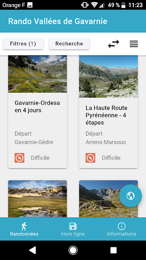
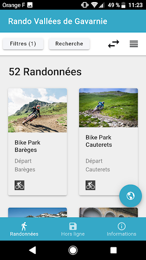
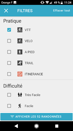
She will guide you on the hiking trails around Barèges, Cauterets, Gavarnie, Luz, Argeles Gazost and Val d´Azun.It allows you to consult and download hiking, mountain biking, cycling and trail day trip or roaming files with their points of interest and photos.Innovative and functional, the free application will help you to:- Select your hikes according to your criteria (duration, elevation, theme,…) or thanks to the interactive map of the territory- Embed detailed sheets and maps by downloading them one by one with wifi or 3G / 4G to consult them in the mountains without connection- Navigate in the field with the GPS of your smartphone or tablet- Be alerted about the heritage near the trail via GPS- Know the tourist services near the routes (accommodation, ideas for stays ...)See you soon on the roads
Social Features
Connect and share with friends and the community.
Camera Features
Advanced camera features with editing capabilities.
Fitness Tracking
Track your workouts and monitor your health metrics.
See the Rando Vallées de Gavarnie in Action
Get the App Today
Available for Android 8.0 and above